Home
» News
»
How to Track a Hurricane With Trusted Apps and Emergency Alerts
How to Track a Hurricane With Trusted Apps and Emergency Alerts
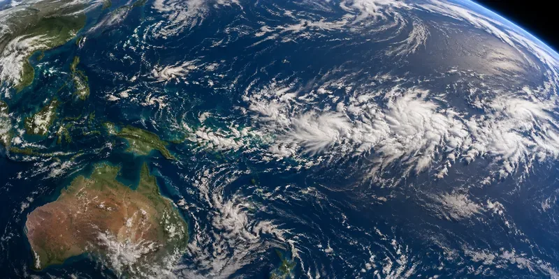
A hurricane-tracking map answers where a storm may go. An emergency alert tells you when a threat needs your attention. You need both, plus instructions from local officials about your own community. For a practical setup, use the National Hurricane Center for storm forecasts, an emergency app for saved places, your phone’s government alerts, and your local emergency management notification system. The National Weather Service explanation of Wireless Emergency Alerts emphasizes using more than one warning channel.
Information reviewed September 23, 2026. This U.S.-focused guide explains a four-part setup and how to interpret the information it delivers; it is not a live hurricane advisory. App features and phone menus can change. The screen details below are navigation illustrations, not live captures or evidence of hands-on app testing.
Before you begin: know what you are trying to track
You do not need to interpret every meteorological chart. You need to identify the hazards affecting your location, the time preparations must be finished, and the official action to take. Hurricanes can bring coastal flooding, inland flooding, damaging winds, tornadoes, and dangerous surf. A storm does not need to pass directly over your home to affect it, as the National Weather Service hurricane hazard guide explains.
Have your home ZIP code, the addresses of people you want to monitor, and your local evacuation information available. An evacuation zone is an area local authorities use for evacuation planning; check yours with the responsible local emergency management office rather than estimating it from a storm map. The National Weather Service hurricane preparation checklist also recommends agreeing on a family communication plan before an emergency.
Step 1: choose your forecast sources and one emergency app
Start with the National Hurricane Center, part of the National Oceanic and Atmospheric Administration, or NOAA. Select the relevant ocean basin and storm when one is listed. Use the storm’s public advisory and forecast products as your reference, rather than treating a reposted map as the original source.
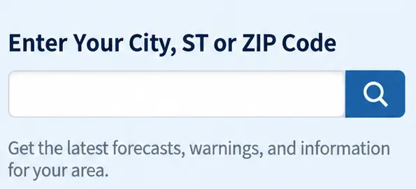
Next, open the National Weather Service local forecast, enter your city and state or ZIP code, and confirm that the result is the intended place. Keep both pages bookmarked: the hurricane center provides the storm-wide picture, while local National Weather Service offices explain impacts for their areas. The National Weather Service guide to hurricane forecast products describes that division of information.
Local forecast search example: enter a city and state or ZIP code, then verify that the returned location is correct.
For notifications and preparedness information, the FEMA app and the American Red Cross Emergency app are useful starting options. FEMA stands for the Federal Emergency Management Agency. Neither app makes your phone’s built-in emergency alerts unnecessary.
Tool
Useful for
Important boundary
National Hurricane Center website
Official storm advisories, forecast tracks, and hazard products.
A browser page is a source to check, not a replacement for an alerting system.
FEMA app
Weather and emergency alerts for up to five specified locations, plus preparedness information.
Saved ZIP-code locations are not the same as continuously following your movements.
American Red Cross Emergency app
National Weather Service alerts, live weather maps, preparation guides, and information about open Red Cross shelters and services.
Check local evacuation instructions as well as any shelter information.
Download through FEMA’s official app page or the American Red Cross mobile apps page, which provide the publishers’ descriptions and download access. Both apps are described by their publishers as free. Verify the developer, not just the icon or the word “NOAA” in an app name. A familiar agency name in an app’s description is not, by itself, proof of who publishes it.
A limitation worth knowing:FEMA’s current Android app listing says it does not currently provide real-time tornado alerts based on your changing location. That matters because hurricanes can also produce tornadoes. Keep government alerts enabled instead of relying on FEMA as your only warning method.
Step 2: save the right places and add local notifications
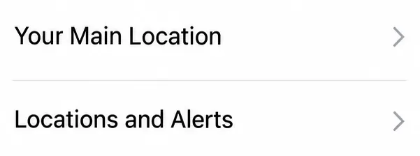
In the FEMA app, review Your Main Location in Settings and the locations listed under Locations and Alerts. Check each ZIP code before saving. Use the available location slots deliberately—for example, for your home, a relative’s home, and a possible evacuation destination. FEMA documents its location settings on FEMA’s official app page; its Android listing specifies ZIP-code-based alerts for up to five places.
Saved-location settings example: review the main location and additional alert locations before a storm threatens.
Do not assume that saving a relative’s location sends alerts to that relative’s phone. You are configuring the information delivered to your own app. Help other household members configure their own devices, and agree on how you will check on one another.
Also visit your city, county, tribal, or territorial emergency management website and follow its notification signup link. Provide the contact information and address that the local system requests, and complete any confirmation it requires. These systems may deliver calls, texts, or emails with community-specific instructions. They are separate from Wireless Emergency Alerts, according to the National Weather Service explanation of Wireless Emergency Alerts.
For any installed app, allow the notifications you need in the phone’s settings as well as in the app. Installing an app and saving a location are not enough when its notifications are disabled. Google’s documentation distinguishes app notification controls from the separate wireless emergency alert settings.
Step 3: enable your phone’s government emergency alerts
Wireless Emergency Alerts, or WEA, are urgent messages that authorized government agencies send through participating wireless carriers to compatible phones in an affected area. They require no emergency-app download or signup and are free to receive. They are not a subscription to every forecast update. National Weather Service WEA messages include hurricane, storm surge, and tornado warnings, along with selected other urgent warnings; see the National Weather Service explanation of Wireless Emergency Alerts for the current explanation.
On iPhone
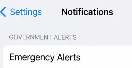
Open Settings, choose Notifications, and scroll to the bottom. Review the options under Government Alerts and keep emergency and public safety alerts enabled where those options are available. The screen detail below identifies the section to find, rather than showing every switch or submenu on every iPhone.
iPhone navigation example: Government Alerts appears near the bottom of Notifications settings; review the emergency alert options there.
Apple’s government and emergency alert instructions says government alerts are enabled by default, but checking matters after changing phones or settings. Support depends on a compatible carrier SIM or eSIM, and available controls vary by country or region. Apple also documents separate Enhanced Safety Alerts on supported software. Do not confuse those additional features with the carrier-delivered Government Alerts settings.
On Android
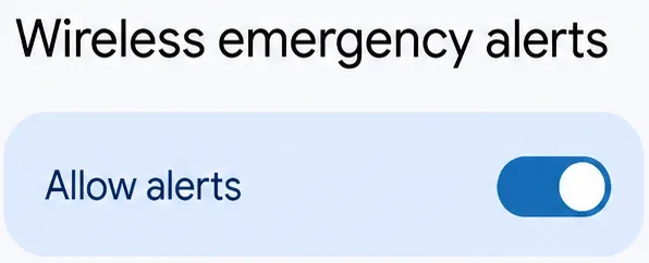
Open Settings, then Notifications, then Wireless emergency alerts, following Google’s Android notification instructions. Review the master alert control and available emergency categories. When your phone offers choices for extreme and severe threats, keep those enabled.
Android settings example: the Allow alerts control is enabled. Review the other emergency categories available on your device as well.
Google notes that settings vary by device. When this path is absent, search Settings for “wireless emergency alerts” and consult your phone manufacturer’s instructions. Separately review the emergency app under app notifications, including whether its messages are audible or silent. Do not assume an ordinary app notification behaves like a government alert or always bypasses a quiet mode.
Step 4: read each update in an order that supports a decision
Once the setup is complete, use a consistent reading order: time, affected location, hazards, required action. That is more useful than repeatedly refreshing an animated track while overlooking an evacuation message.
The timestamp comes before the map
An advisory is an official storm update. Check its issue date, time zone, and advisory number, and look for the next update time. A forecast label for tomorrow describes a predicted position; it does not mean the graphic was issued tomorrow. Make sure a screenshot in a group chat matches the latest official product before using it.
Hurricane centers normally issue full advisory packages at six-hour intervals, with intermediate public advisories when coastal watches or warnings are in effect. The National Weather Service guide to hurricane forecast products explains the schedule and the contents of a public advisory. Keep alerts active between your own checks; a regular update schedule is not a reason to postpone action on an urgent message.
The forecast cone is not the storm’s footprint
The forecast cone represents uncertainty about where the storm’s center may travel. It does not outline everywhere that damaging conditions will occur. The center line is not a precise street-level prediction, and being outside the cone does not establish that your location is safe. Read the legend on the current product rather than assuming every cone graphic uses the same presentation. The NHC guide to its forecast graphics explains what its symbols represent.
Storm surge is an abnormal rise of seawater caused by a storm; it is different from flooding caused by rainfall. Check surge information for coastal locations, rainfall and flood information for inland locations, and wind and tornado information where relevant. The National Weather Service hurricane hazard guide explains why impacts can extend far from the center and continue after a storm weakens.
A useful cross-check is the local Hurricane Local Statement, a National Weather Service summary of potential impacts and preparedness information for the area. Read any local hazard briefing and the actual warning text, rather than deciding from a hurricane category or track alone.
A watch and a warning call for different levels of readiness
A hurricane watch means hurricane conditions are possible in the specified area. A hurricane warning means they are expected. Hurricane conditions involve sustained winds of at least 74 mph; tropical-storm-force winds begin at 39 mph.
The timing detail matters: hurricane watches are generally issued 48 hours before the anticipated start of tropical-storm-force winds, and hurricane warnings 36 hours before that onset—not before the eye reaches land. These are warning lead times, not a personal countdown that guarantees you can safely wait. The National Weather Service hurricane watch and warning definitions explains the distinction.
An evacuation order is a local instruction, not another name for a hurricane warning. Follow the responsible local authority’s order and timing even when the forecast center line moves away from your home. The National Weather Service guidance when a hurricane threatens directs residents to follow local instructions and leave immediately when ordered. Do not wait for a second app to agree with an official evacuation order.
Common mistakes that make a good app less useful
Watching the wrong place. A saved home ZIP code does not necessarily describe where you are traveling. Review the location named in each message, particularly after leaving home. Likewise, the absence of an alert on one phone is not an official all-clear.
Comparing pictures without comparing times. Two maps may look different because one is older or shows a different product. Return to the issuing agency and compare matching products before concluding that forecasters disagree.
Reading a warning but missing its instruction. Open the message and identify the affected area and required action. Storm surge, wind, and flooding can call for different protective decisions; the official text and local instructions matter more than the color of an app icon.
Keep a way to receive information when apps are unavailable
Charge your phone and backup battery before conditions deteriorate. Keep important contacts and your household plan on paper as well as on the phone. A saved map or downloaded document can preserve information, but it cannot update itself during an outage.
A battery-powered NOAA Weather Radio receiver provides a separate route to official broadcasts without using a phone app’s internet connection. The service broadcasts weather warnings and forecasts continuously, but requires a receiver capable of tuning its weather-radio frequencies. Check reception and local station status before relying on it. See NOAA Weather Radio information and station resources; a streaming “weather radio” app is not the same as owning a working radio receiver.
Your setup is ready when you can find the latest official advisory, identify the locations your app monitors, locate your government alert settings, and name the local authority responsible for evacuation instructions. The purpose of tracking a hurricane is not to predict its exact path yourself. It is to recognize the threat early enough to act on trustworthy instructions.