Home
» News
»
What Is the Polar Vortex? How It Can Shape U.S. Winter Weather
What Is the Polar Vortex? How It Can Shape U.S. Winter Weather
The polar vortex is a large circulation of cold air and strong winds around the North Pole in the winter stratosphere. It is a normal feature of the atmosphere, not a storm that suddenly forms over the United States. When the vortex weakens, shifts, or splits, it can alter the jet stream below and raise the odds of cold-air outbreaks in parts of the mid-latitudes. That influence is indirect and uneven: a disrupted vortex does not guarantee a cold winter, snow, or severe weather in any one city.
For practical purposes, treat “polar vortex” as a clue about a large-scale atmospheric pattern—not as a local forecast. Check the National Weather Service for the next several days and NOAA’s Climate Prediction Center for seasonal probabilities. The science and official resources below were checked on September 23, 2026; this article explains the phenomenon and is not a forecast for the 2026–27 winter.
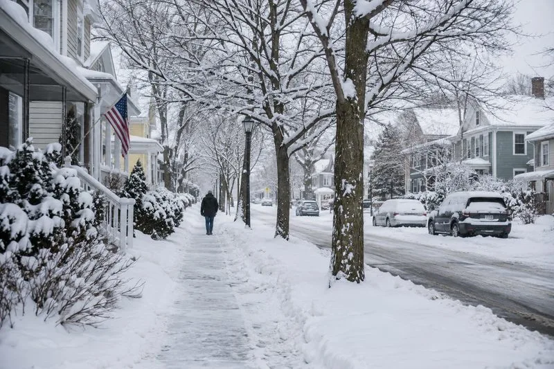
A snow-covered U.S. neighborhood shows one possible winter setting; the polar vortex itself is high in the atmosphere and cannot be seen from the street.
What is the polar vortex?
“Vortex” describes a broad region of rotating air. During winter, the temperature contrast between the dark, cold polar region and lower latitudes helps create a ring of strong westerly winds around the pole. This circulation encloses very cold air. A vortex develops over each pole in its respective winter; news coverage in the United States usually means the Arctic polar vortex in the Northern Hemisphere.
The word is used loosely in headlines, so it helps to separate two atmospheric layers:
Stratospheric polar vortex: the high-altitude circulation, roughly 10 to 30 miles above the North Pole. It is far above the layer where most clouds and everyday weather occur.
Polar jet stream: a band of fast winds in the lower atmosphere, near the boundary between the troposphere and stratosphere. Its position and bends help steer weather systems and separate colder and warmer air masses.
They can interact, but they are not the same thing. NOAA describes the vortex as a wintertime band of strong winds in the stratosphere and notes that the lower polar jet stream has the more direct role in day-to-day mid-latitude weather. The NOAA explanation of the polar vortex and NOAA Climate.gov’s discussion of the Arctic vortex distinguish these ideas.
How can it affect winter weather?
A strong, relatively steady stratospheric vortex tends to keep the coldest polar air concentrated at high latitudes. In some winters, the polar jet stream then stays farther north and follows a less wavy path, which can favor milder conditions across parts of the mid-latitudes. This is a broad tendency, not a promise: other patterns can still bring cold or storms to the United States.
Large atmospheric waves can travel upward from the lower atmosphere and disturb the stratospheric vortex. It may slow down, stretch, move off the pole, or split into separate lobes. In a major sudden stratospheric warming (SSW), temperatures in the polar stratosphere rise rapidly and the usual west-to-east winds can weaken sharply or reverse. “Warming” refers to the stratosphere, not a sudden warm spell at the surface.
After some disruptions, the effects can work downward over the following weeks. The jet stream may become more wavy, with ridges that carry warmer air north and troughs that let colder air move south. A trough over one region may coincide with a ridge and milder weather elsewhere. Depending on the full pattern, an area can also see changes in storm tracks and precipitation. The exact timing, location, and strength of surface effects are uncertain; a disruption can have little noticeable impact, and it may take weeks for any signal to reach the weather people experience.
A NOAA-hosted scientific review of sudden stratospheric warmings describes how these events can shift jet streams and storm tracks and make cold-air outbreaks over North America and Eurasia more likely. “More likely” is the key phrase: it describes odds, not a guaranteed outcome.
Quick reference: what a vortex headline does and does not tell you
Term or claim
What it can indicate
What to check next
Strong vortex
The high-latitude stratospheric circulation is relatively organized and strong.
Use local forecasts for actual temperatures, wind, and precipitation; “strong” does not mean every U.S. location will be mild.
Vortex disruption or SSW
A major change is happening high in the polar stratosphere.
Wait for forecasts to show whether and where the lower-atmosphere pattern responds.
Wavy jet stream
Air masses and storm tracks may follow a more amplified route.
Look at the location and persistence of the ridge or trough, not just the vortex label.
“The vortex is coming south”
Often shorthand for a possible southward push of cold air associated with circulation changes.
Check the forecast map and local NWS forecast; the stratospheric vortex is not a single surface storm moving into town.
What is the connection to El Niño?
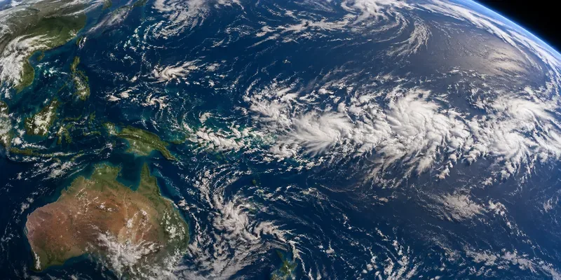
El Niño is a periodic warming of surface waters in the tropical Pacific that changes tropical rainfall and winds. Those changes can send large-scale atmospheric waves toward higher latitudes. On average, some research and NOAA summaries of the El Niño connection find that El Niño can favor more wave energy reaching the stratosphere, which may weaken the winter polar vortex or increase the chance of a disruption, particularly in late winter.
This is a statistical relationship, not a rule for a particular season. Its strength varies among winters and research periods; a NOAA-hosted study found the observed ENSO-to-Arctic-stratosphere connection evident in some earlier records but not in the more recent decades it examined. Other influences—including the timing of atmospheric waves and the state of the stratospheric winds—also matter. El Niño does not mean that every vortex will break down, and neither El Niño nor a vortex disruption alone tells you whether your town will have a cold snap or a snowstorm. For current ENSO status, use NOAA’s Climate Prediction Center ENSO discussion; for the broad U.S. winter outlook, check the center’s seasonal outlooks.
Common misunderstandings, corrected
Does every cold snap come from the polar vortex?
No. Cold Arctic air can reach the mid-latitudes through other weather patterns, and a weak or displaced vortex does not always produce a major surface outbreak. If a forecast calls a cold wave “polar vortex weather,” look for the actual local forecast and warning details rather than relying on the label.
Does a sudden stratospheric warming mean the ground will warm up?
Not necessarily. The rapid temperature rise takes place in the stratosphere. Surface conditions may respond later, in different places, or barely at all. Follow forecasts over time instead of translating a stratospheric temperature chart directly into a ground-level forecast.
Does a vortex disruption automatically mean snow?
No. A cold-air outbreak and a snowstorm are different ingredients. Snow also depends on moisture, lift, and storm timing. Check the NWS forecast for precipitation type and accumulation in your location.
For a seasonal outlook, read NOAA’s probabilistic maps as odds over a broad region and period—not a day-by-day prediction.
If you hear about an SSW or vortex split, look for a follow-up forecast explaining whether the jet stream is expected to respond and where.
Plan for the hazards actually forecast for your area, such as dangerous cold, icy roads, heavy snow, or high winds. The vortex label alone is not an alert.
The useful takeaway is simple: the polar vortex is a real winter circulation high above the ground, and changes in it can influence the jet stream and raise the chance of cold outbreaks. But the link is conditional, delayed, and regional. For decisions about travel, heating, or outdoor safety, the local forecast and official warnings are more useful than a headline about the vortex by itself.
Sources checked September 23, 2026. NOAA’s educational and research resources are used here for background science; their general explanations do not predict local conditions for a particular winter.